
Nevada Neighbors by Record Type
A Nevada block has no single public roll that names everyone who lives nearby. Start with the question: parcel location, recorded transfer, civic boundary, or a past use of the place. County and city files have different keepers, and a result only speaks to the field that keeper records. The table separates the useful block clues from what each source cannot show.
| Source | What It Shows About a Block | Access |
|---|---|---|
| County GIS and assessor | Parcel shapes, APNs, legal descriptions, and assessment owner fields | County map and property search; verify dates and parcel detail |
| County recorder | Recorded instruments tied to a parcel or parties | Recorder index, document image where offered, or custodian request |
| County voter records | Only the voter-list fields the law permits to be released | County clerk route; protected fields remain suppressed |
| City neighborhood program | Association boundary, contact path, meetings, and civic context | City program page; it is not a resident roster |
| Public meeting or permit file | Names and addresses linked to a project, agenda, or application | City or county department and its request route |
| Historic map or plat | Earlier street, lot, or building context | Library, archive, or map collection; not a list of current neighbors |
An owner field belongs to a parcel and may use a mailing address elsewhere. It does not identify every occupant or prove that the owner lives there. A meeting roster or association contact page also serves its own purpose; participation does not establish who lives on each lot. Nevada has no statewide municipal-resident directory, and city staff pages, public comments, and board packets are partial civic records. Treat each as a lead to a custodian or place, not as a household list.
Trace Nevada Parcels Around an Address
The Clark County GISMO/OpenWeb parcel viewer is a useful starting point for a Clark address. It links parcel details to assessor, recorder, tax, and map paths. Fields include APN, owner, site address, jurisdiction, legal description, recorded-document number, and aerial date. A map shows which parcels touch or sit near each other, not a family or household relationship. Save the map date and APN.
Use one known address to build a limited parcel trail:
- Search the Clark Assessor site-address form by number, direction, street name, type, and legal city or town. Keep the original address too.
- Open the parcel detail, note its APN, jurisdiction, legal description, and source or aerial date, then use the map to select a nearby parcel one at a time.
- Compare each parcel's assessment owner field with the recorder instrument if a transfer matters. Keep the recorded parties and date in their own row.
- Stop at parcel context. If the task is a named street's full address-record chain, use the Nevada street directory workflow instead.
Clark's City/Town field follows the legal boundary, which may differ from a postal city. Its glossary also separates location address from the mailing address used for tax bills. An owner can receive mail elsewhere, and an estimated sale value is not necessarily the price paid. Do not infer who shares a parcel from a mailing field. Note: Nearby lots show map relationships only; they do not establish shared ownership, household, or residence.
What Clark Parcels Can Show About Neighbors
Clark Assessor's glossary separates the site address that locates a parcel, the mailing address used for tax bills, and the legal description that identifies land. Owner names are kept for assessment and can be limited to two lines; “ETAL” may stand for others. This is not a list of people at a house. A recorder instrument names parties to a transaction and may include the APN or legal description.
Clark changed many APNs from an older XXX-XXX-XXX form to a newer geographically based XXX-XX-XXX-XXX form; the glossary says more than 90 percent had been assigned new numbers by December 1996. A changed parcel number does not by itself show a sale, a new household, or a change in legal description. Keep both numbers when an older map or deed uses the earlier form.
- APN
- The assessor's parcel number, a key for a parcel record.
- Situs or site address
- The address assigned to the physical parcel, not necessarily the owner's mailing address.
- Grantor and grantee
- The party transferring an interest and the party receiving it in a recorded instrument.
Nevada Voter Lists Have Protected Fields
Nevada county clerks keep voter registration books under NRS Chapter 293. Registration location is confidential; Social Security, driver or ID numbers, and registration email are not ordinary public fields. Voters may request address or phone suppression. Other fields are subject to statute and other confidentiality limits.
The DMV's voter registration and status route is for an individual using a Nevada driver-license or ID, not a public map of registered neighbors. The exact public status result and statewide voter-file request form were not exposed in the research. Ask the county clerk what list product exists, its vintage, permitted fields, fee, and suppression handling; do not assume a public browse-by-name tool is available.
A precinct or district can explain the civic geography around a block, but election data should not be used to expose a protected address or build a list of nearby households.
Reno Boards Connect Neighbors by Ward
Reno Neighborhood Advisory Boards (NABs) are ward-based public forums, not resident directories. The City of Reno engagement route points readers to board meetings, local issues, and participation paths. The inspected master-plan material describes five wards, but ward boundaries can change, so check the current city map before tying an address to a board. Agendas and meeting material can add civic context about a project or public concern without proving who lives on nearby parcels.
The City of Reno's Engage Reno and Neighborhood Advisory Board page is the official route for the board and meeting context shown here.
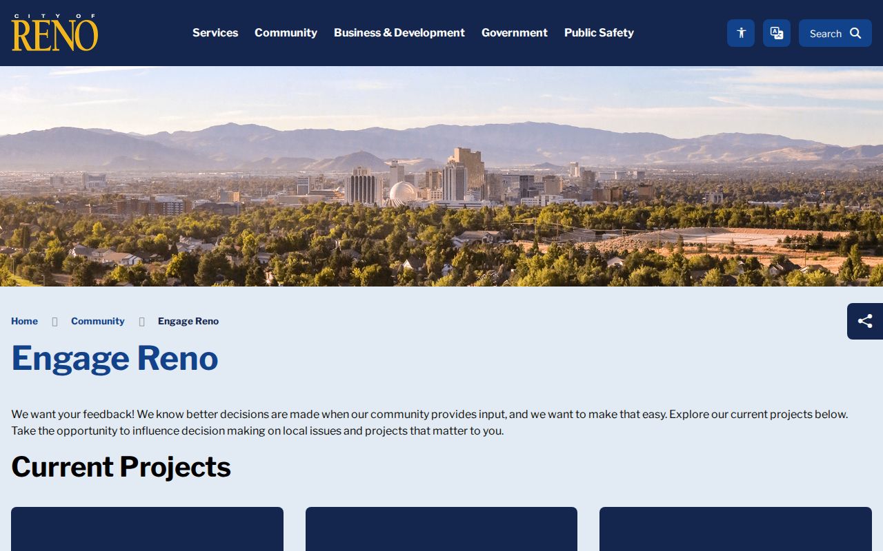
Use a board page to learn where to follow civic discussion or raise a local topic, not to identify every household in the ward.
Las Vegas Associations Have City Limits
Las Vegas keeps a neighborhood-association resource and registration path for organizations within the city. The inspected page says registration is free, meetings must be open to residents, and the association board includes a president, vice-president, and secretary. The association must sit inside city limits; the city's page did not expose a complete export of association names. These rules describe how a civic group is recognized, not who lives on each block.
The City of Las Vegas neighborhood associations page is the current program route shown in the assigned image.
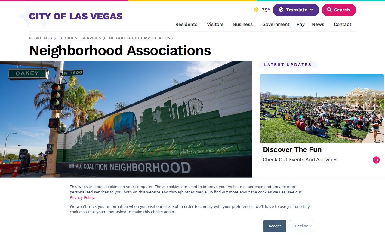
Use the city service page to learn about association boundaries and public participation, then contact the organization through its listed civic channel where one is provided.
| Civic route | Public path | Limit |
|---|---|---|
| Reno Neighborhood Advisory Boards | City engagement page for ward-based meetings and board context | Advisory forum, not a roster |
| Las Vegas neighborhood associations | City association page for registration and neighborhood resources | City limits and association rules apply; no complete export was visible |
Note: The city routes describe civic programs and boundaries, not a complete directory of local households.
Nevada Civic Records Add Block Context
City council and planning packets, board and commission minutes, permit records, and public comments can explain why a street or parcel appears in a local discussion. They may name an applicant, owner, contractor, appointee, or commenter, each in a different role. A meeting date and project number help place that reference. None of these routes yields a full resident list, and a public comment is not proof of a speaker's home address.
For an existing agenda, permit, or list, use the custodian that keeps it. Under the Nevada Public Records Act, the agency responds by the fifth business day, though it may give a status, estimate, exception, or no-record notice. It need not create a directory or combine files. Ask for the smallest record that answers the question.
Older Nevada Addresses Cross County Lines
A block's record trail can cross a city line, a county boundary, or an older jurisdiction. Nevada's archive guides describe territorial and local records from 1851 to 1864 and series filed under places such as Carson, Storey, Washoe, Lyon, Douglas, and Ormsby. A present-day address may once have been indexed under a town lot, mining district, ranch, former county, or legal description. Search by the event date and place, not only the current street label.
When a modern map has no answer, keep the original address spelling and ask the city or county for street-name, annexation, subdivision, or address-assignment records. No statewide Nevada address-history index was located. A historic plat can clarify lot context; a directory offers a dated household clue, not proof of occupancy. The Nevada State Library and Archives collections route can identify record series. Note: A finding aid shows that a series exists, not that every item is online, indexed, or open.
Official Rolls and Commercial Neighbor Tools
Different search tools may place a name beside an address, but they do not carry the same source trail. Official county and city records name a custodian and a record type; commercial people-finder services may combine many feeds and present links that are stale, incomplete, or inferred. Neither kind of result should be treated as a verified list of everyone on a block.
On a Nevada block, an assessor field relates to tax valuation, a deed to a recorded transfer, and an association entry to voluntary civic activity. Compare the source date and responsible office, then treat an outside result as a lead to verify rather than a household fact.
| Route | Useful for | Limit to keep in view |
|---|---|---|
| Official assessor, recorder, or city file | A defined parcel, recorded event, or civic program | Each record covers only its own field and date |
| Commercial neighbor-search category | A broad discovery lead that may point toward a source | May blend stale or inferred links; verify with the named custodian |
Privacy Limits on a Nevada Neighbor Search
Nevada's Confidential Address Program gives qualifying survivors of domestic violence, sexual assault, trafficking, or stalking a substitute address and mail forwarding. Do not use adjacent lots, voter clues, family ties, or a city association to reverse it. Voter, vital, and sealed-court records have their own limits; a missing field is not an invitation to rebuild it.
Nevada Chapter 603A offers a verified opt-out route for covered information held by operators and data brokers, but does not erase the source record. For a county deed, contact its custodian. NRS Chapter 200 addresses harassment and stalking; keep block research lawful and do not combine it into a current-whereabouts dossier.
Lawful use. Use Nevada parcel and civic records to understand a place or take part in local life. Do not use a neighbor search to watch, threaten, harass, or expose a person.